
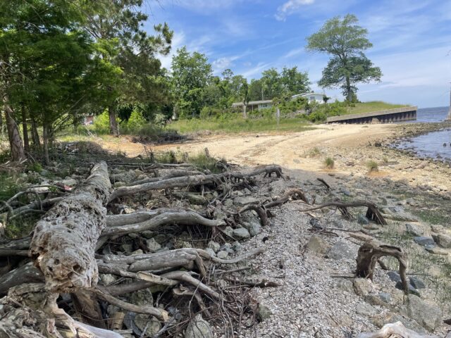
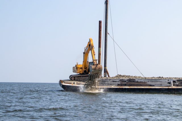
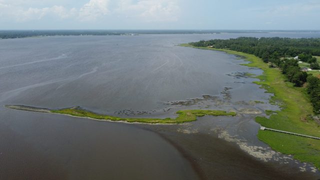
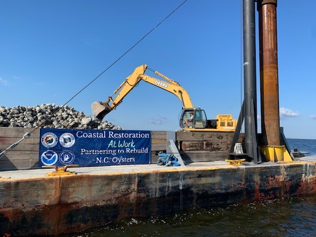
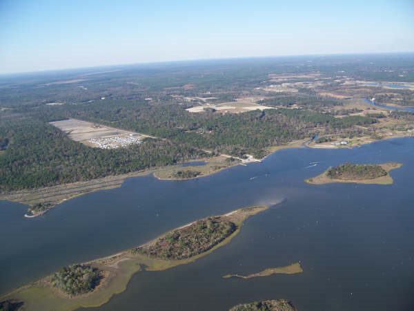
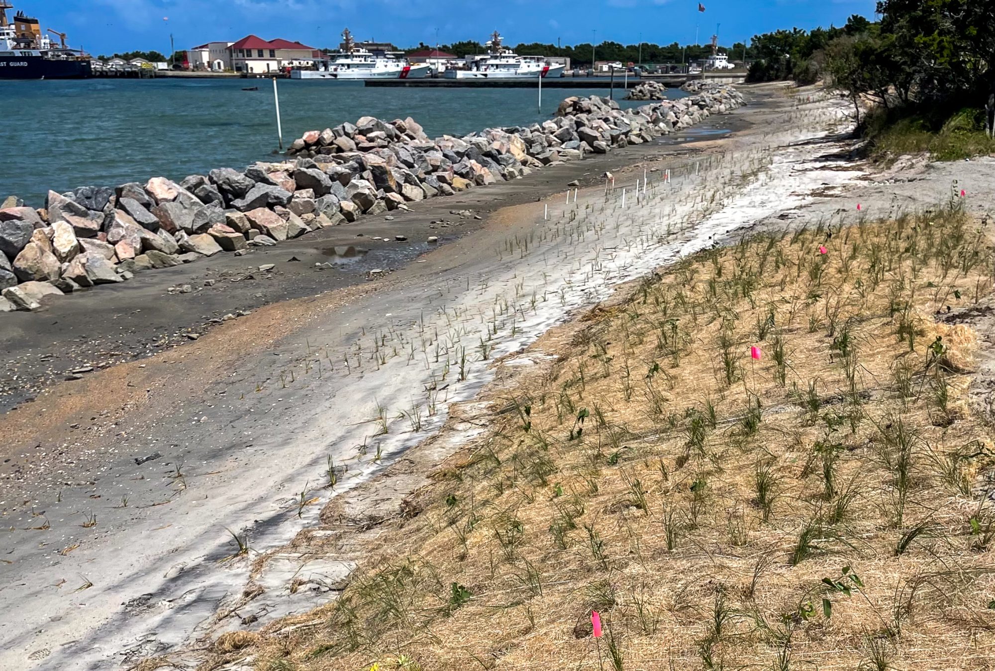
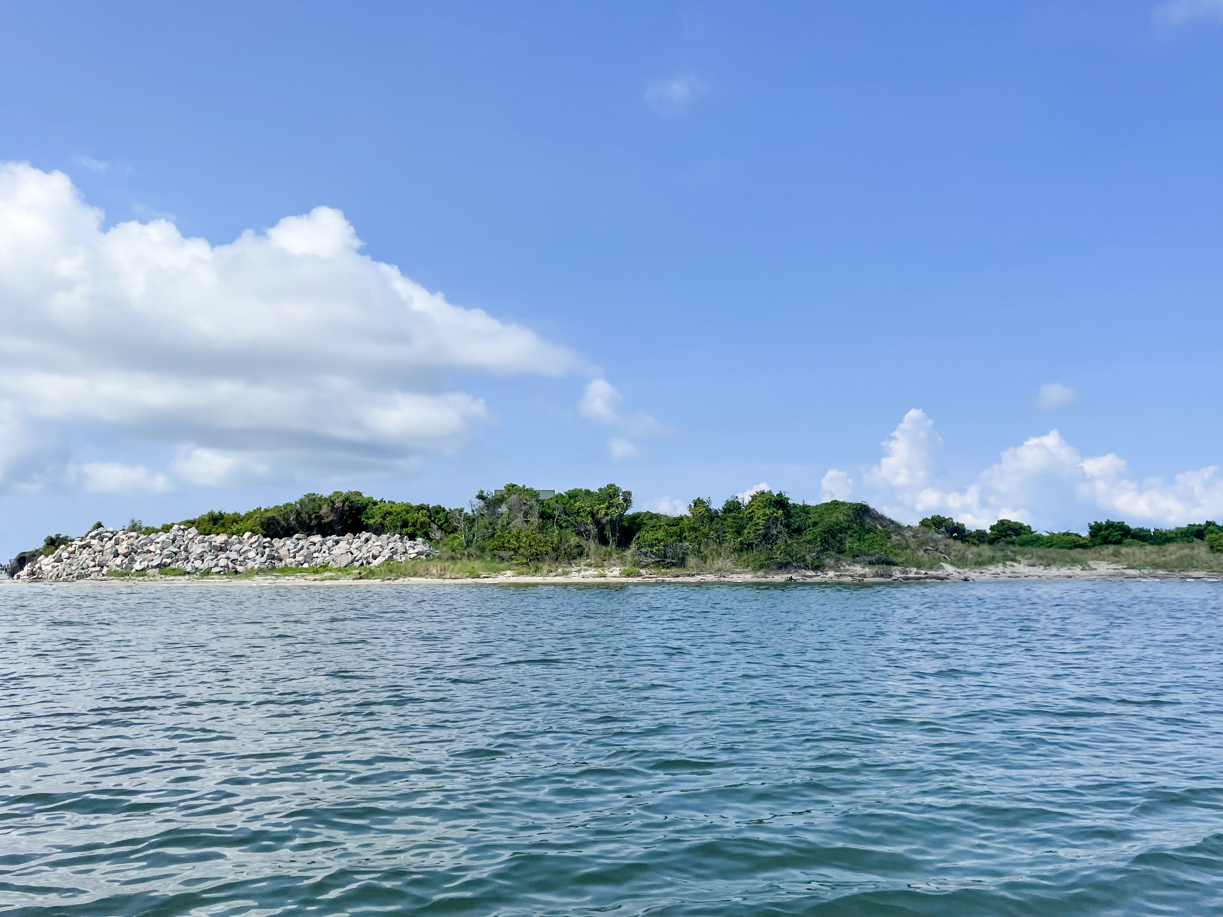
Coastal Federation Protection and Restoration Projects near Ocean City
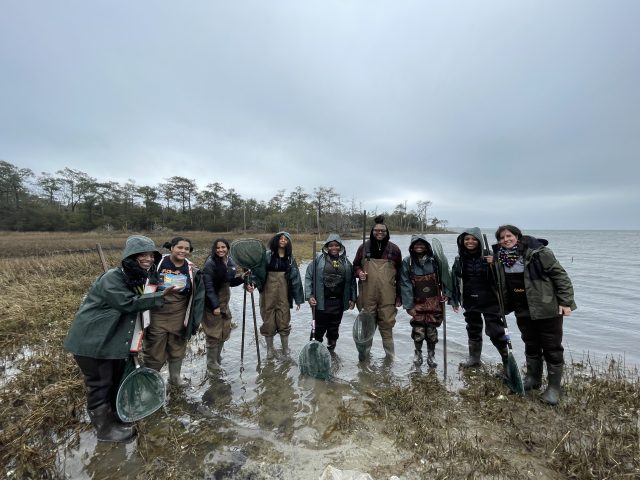
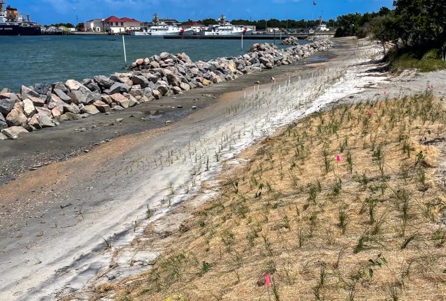
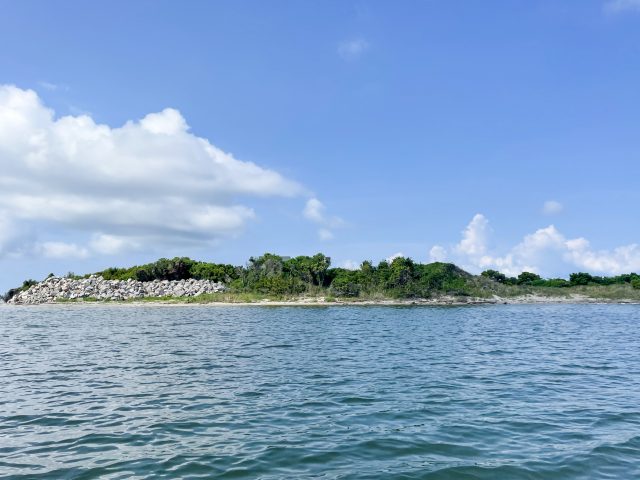
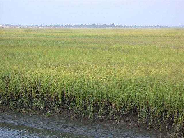
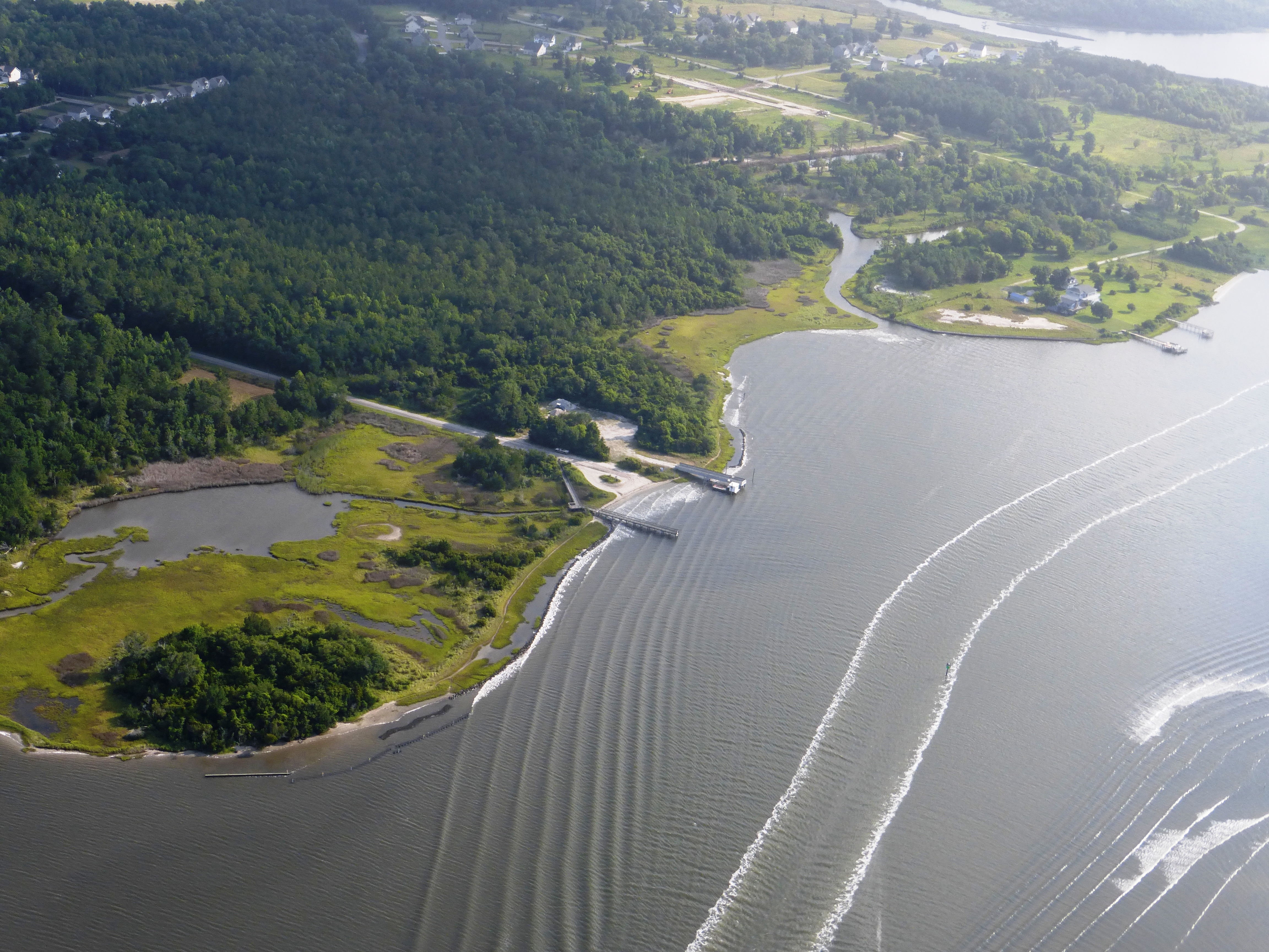
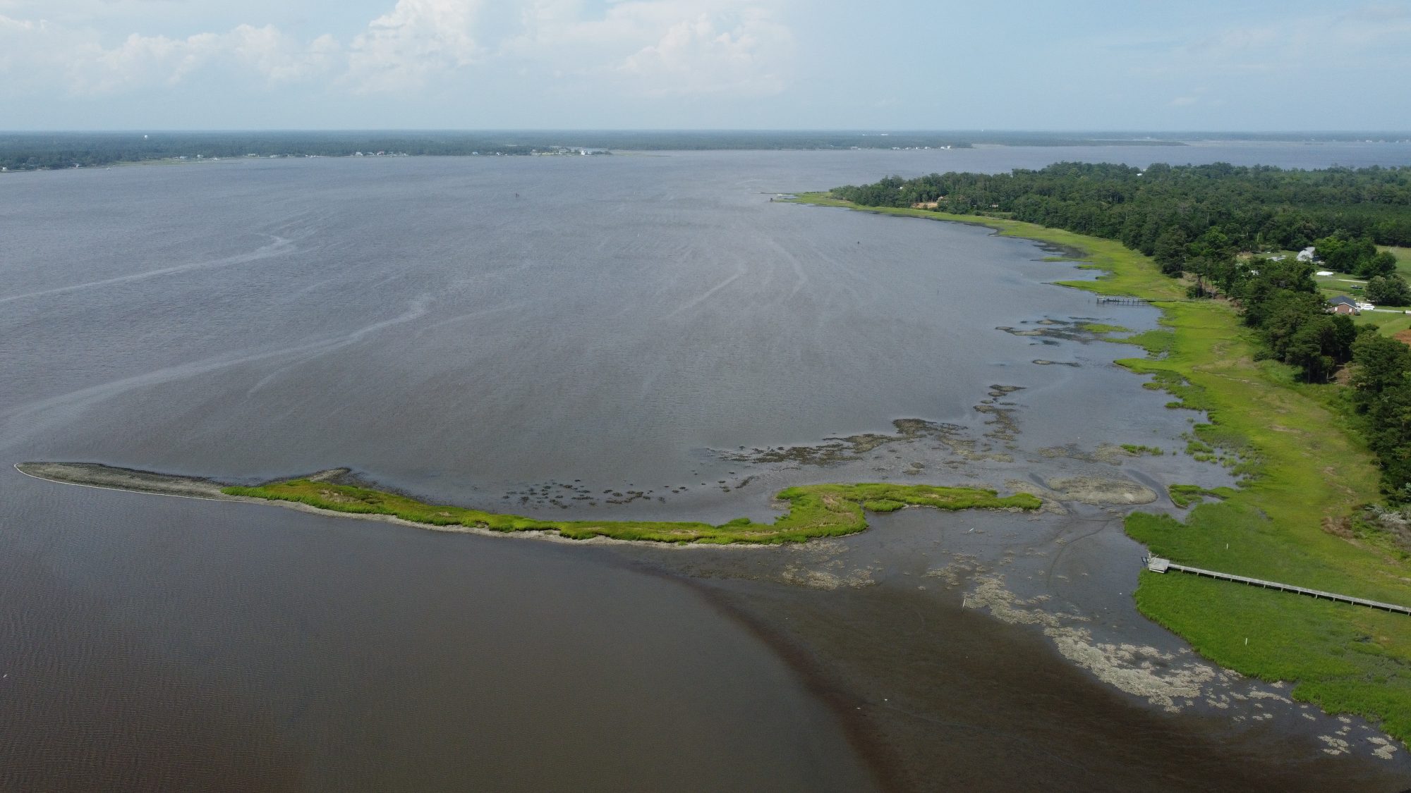
Permuda Island Reserve In the 1980’s, the Coastal Federation worked with local fishermen and community members to permanently protect Permuda Islandin Stump Sound, across from Ocean City. The 65-acre island…

